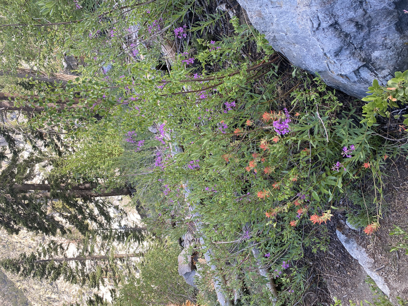
I just got back from a week of backpacking and I’m just so jazzed! It was really lovely up in the high Sierra. I usually prefer to go backpacking around September to avoid biting insects, thunderstorms, and crowds, but this year I wanted to get in my big views before fire season. I was very lucky with the weather and I got to see so many more wildflowers this time of year, yippee!
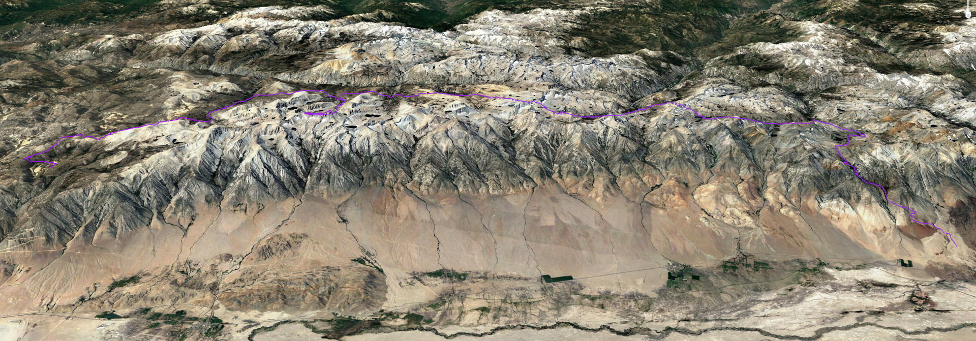
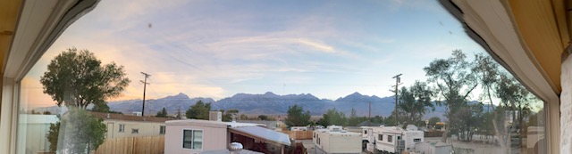
The dramatic view west from our tiny house provided guidance for my starting and ending points. I essentially hiked in the valley behind/west of all the big mountains I can see, traveling south to north, with a side trip up Mt. Whitney.
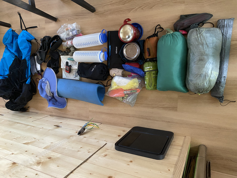
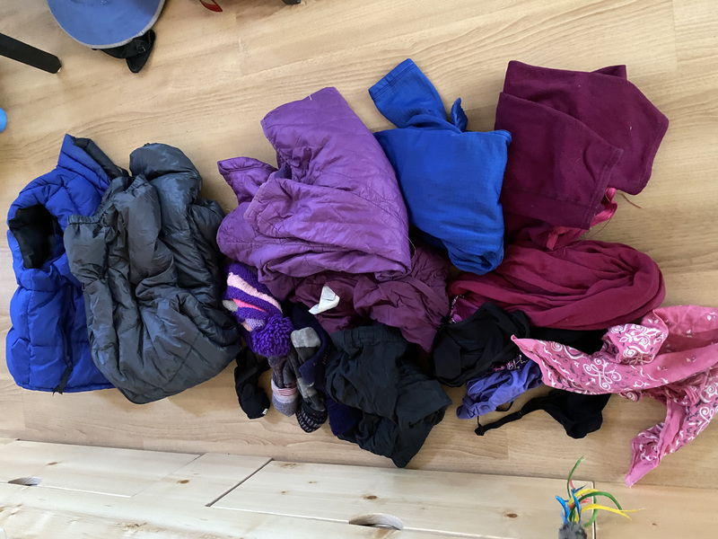
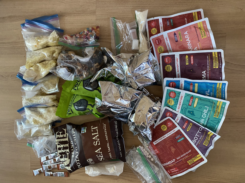
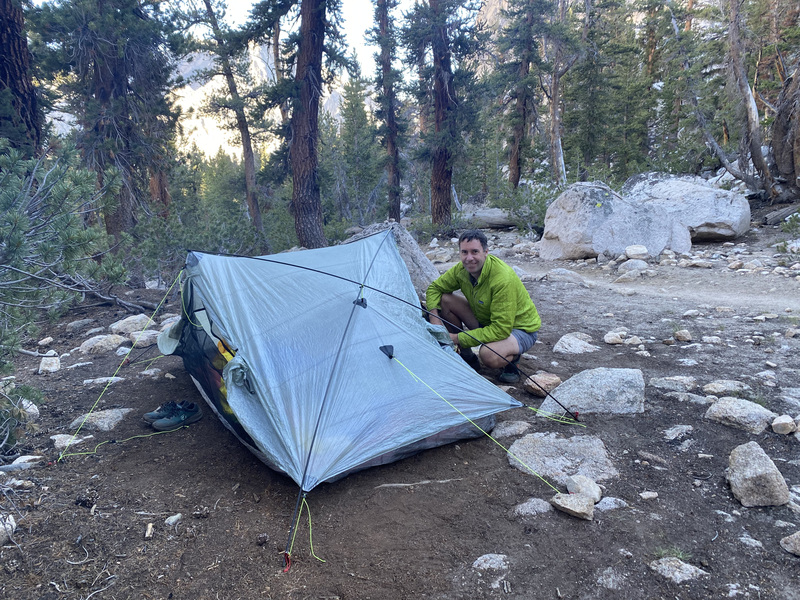
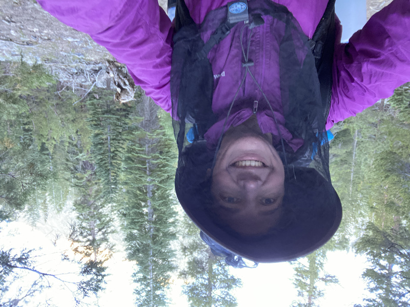
Some of our gear is in the back of our inappropriately overstuffed storage unit, so my choices were a bit limited when packing. I had our long 2 person tent and went with the smaller/thinner of the 2-person quilts for packability, but then added extra down clothing plus polar fleece because the last time I went by myself I was too cold to sleep. Topped it all off with a big bear canister, filled to the brim, because, as most of you know, I love to eat!
Day 1
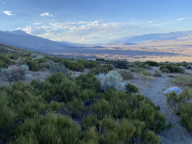
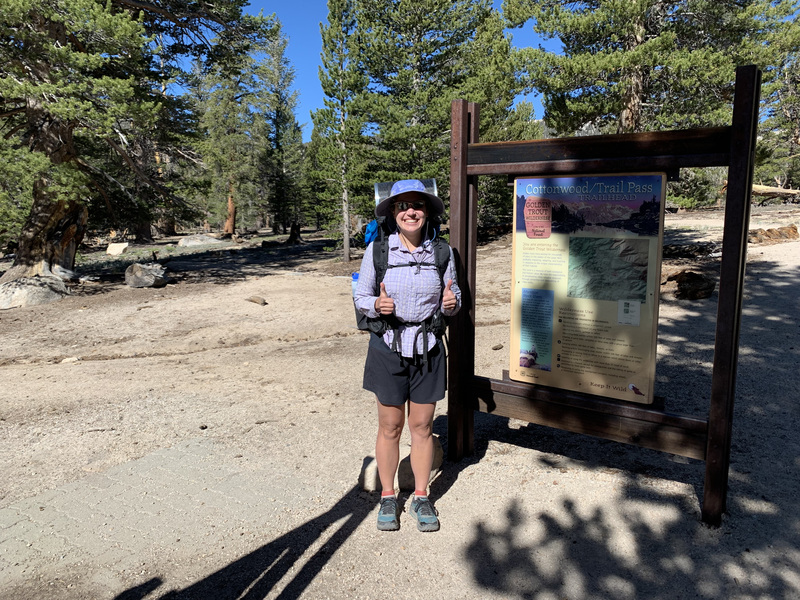
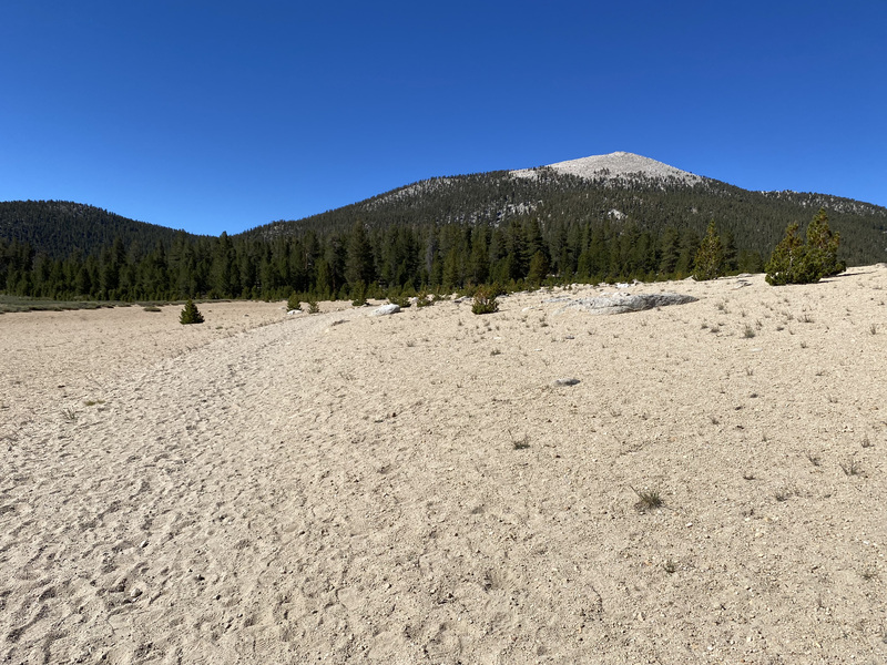
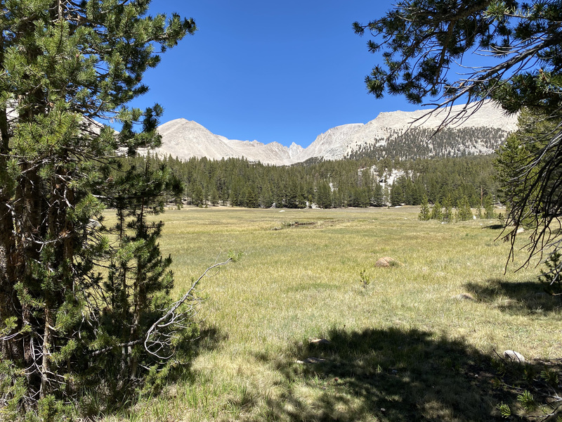
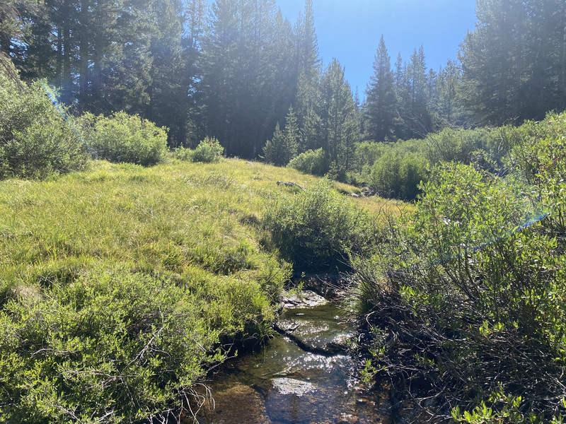
Jon dropped me off in the Horseshoe Meadows/Cottonwood Lakes area. He went for a run by the lakes and I began my hike. I hiked up Trail Pass because it is my favorite in the area- very gradual with a good switchback grade for carrying 8 days of food and supplies on my back. My route began with a desert feel- sandy, mellow peaks and very little water, but then it gradually morphed into a typical high Sierra scene.
Allow me to geek out for a moment. On long hikes or backpacking trips in this area, I often daydream about traveling the Silfen Paths, my favorite story line of many in Peter F. Hamilton’s rich and engrossing Commonwealth Saga. Characters walk or ride horses into the woods on one planet, the scenery changes at an almost imperceptible rate and, before they know it, they find themselves on another planet with completely different flora and fauna!

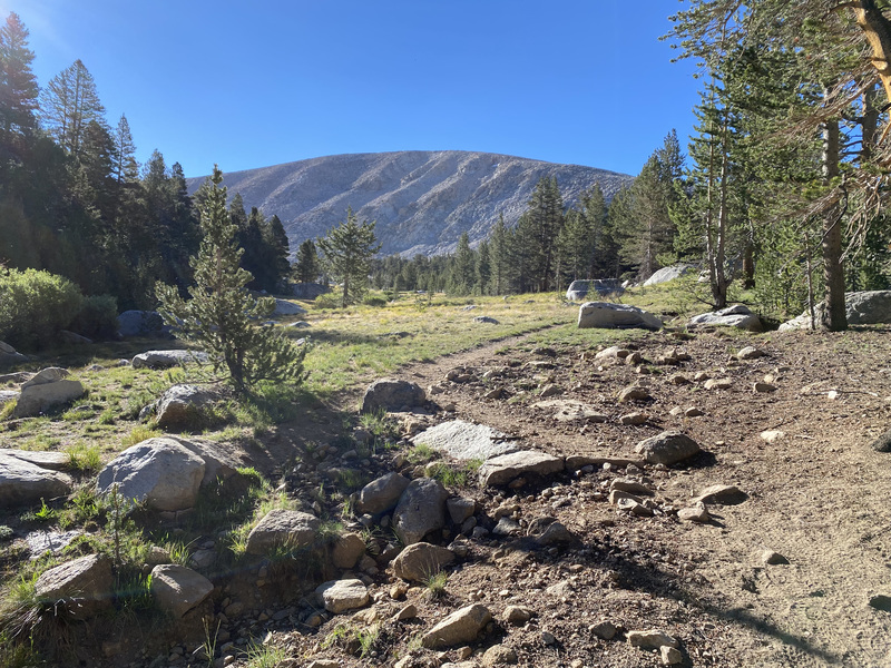
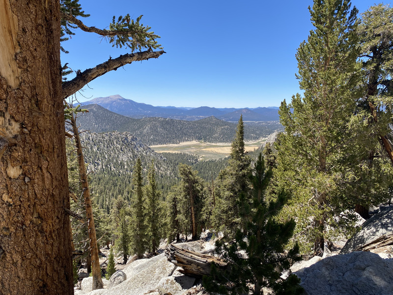
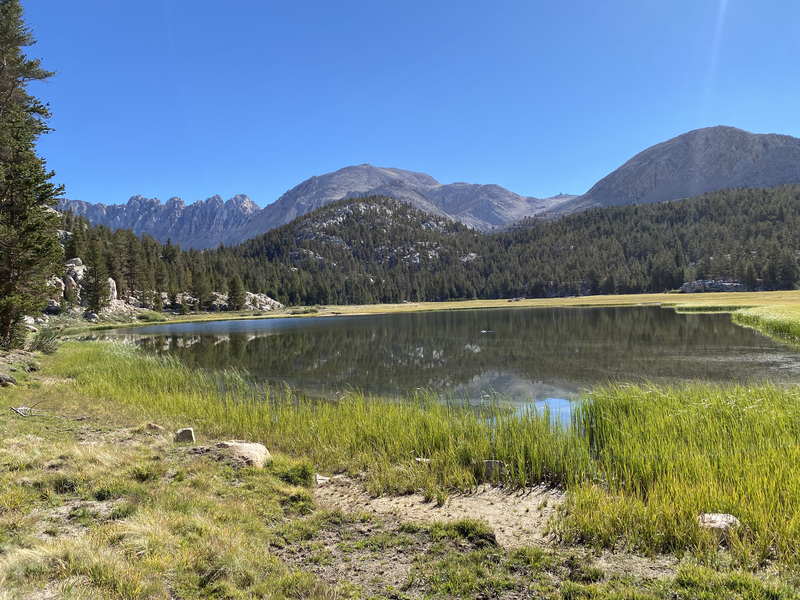
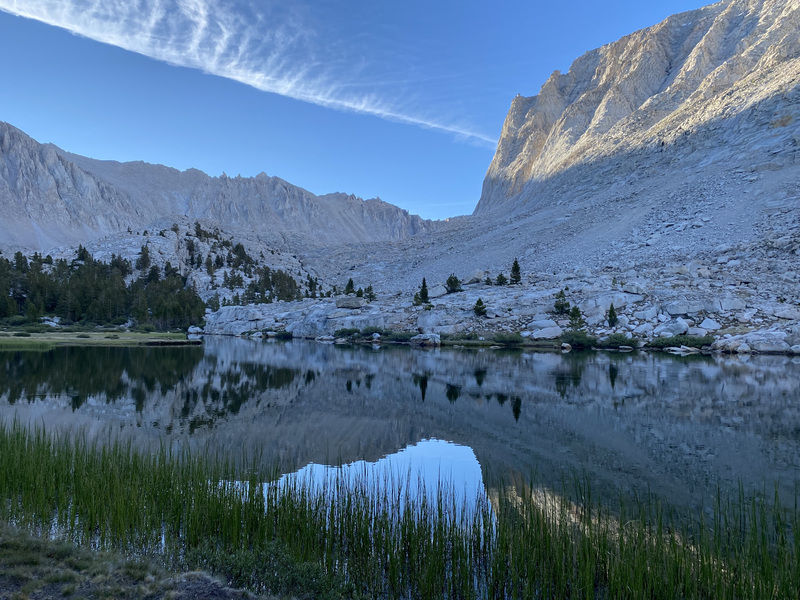
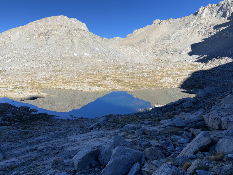
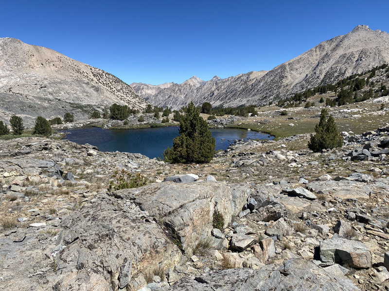
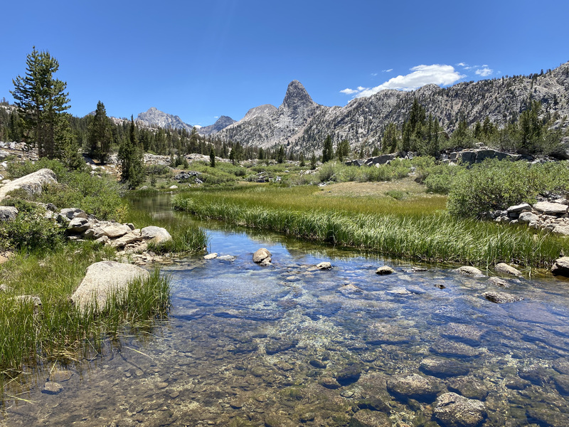
The only water before camp was at Chicken Spring Lake. (I realize now that I incorrectly referred to it as Chicken Head Lake to other hikers, which may have caused their confused expressions.) I refilled and then continued north with good views of big peaks to the west. I made my first camp at a tributary to Rock Creek, which I would be following for the first have of the next day.

Day 2
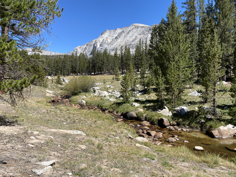
Rock Creek Trail began beautifully and easily with views toward Soldier Lake, marshy meadows without mosquitos, and shaded forests with a creek. I saw two bald eagles.

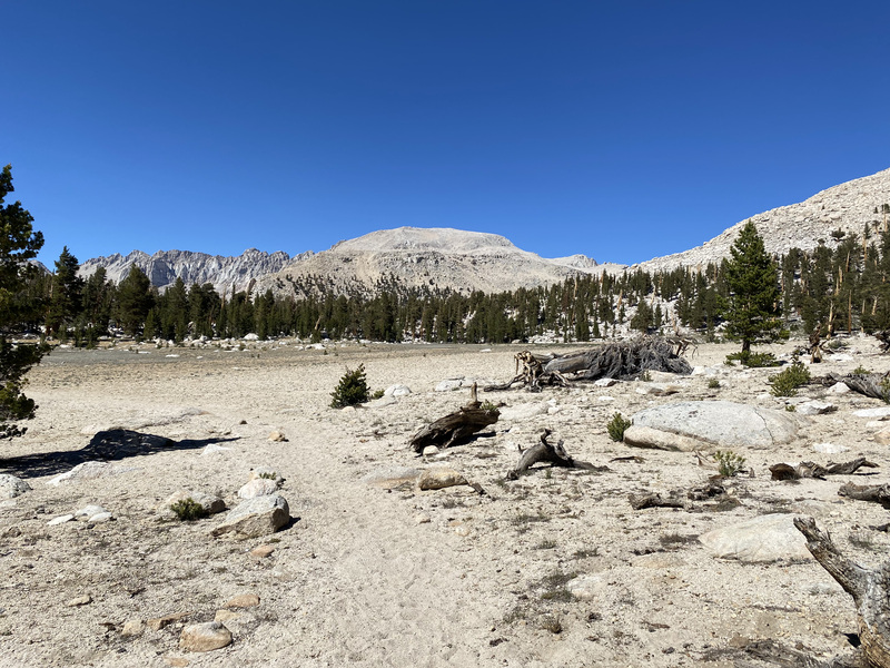
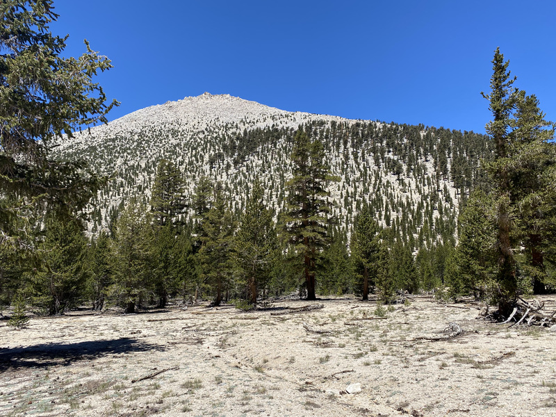
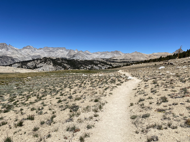
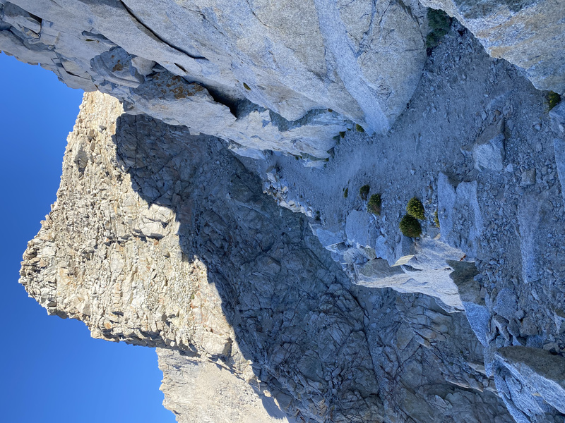
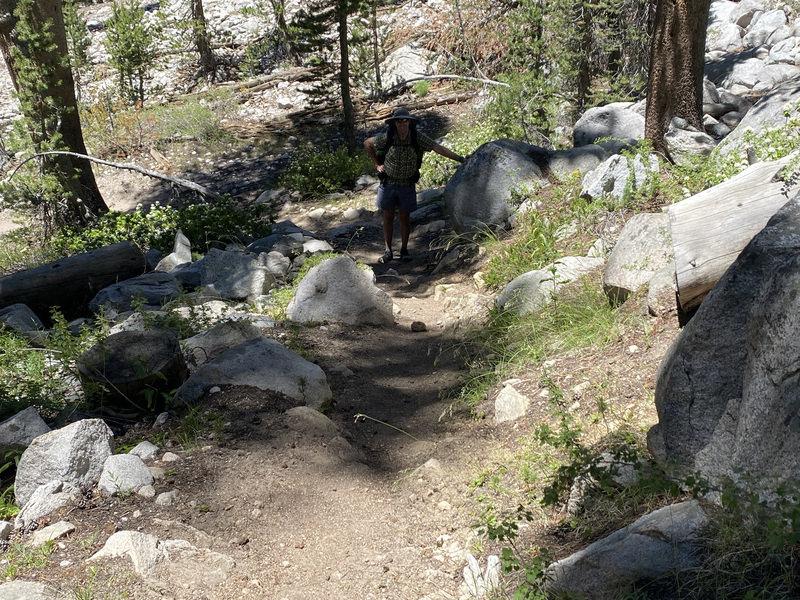
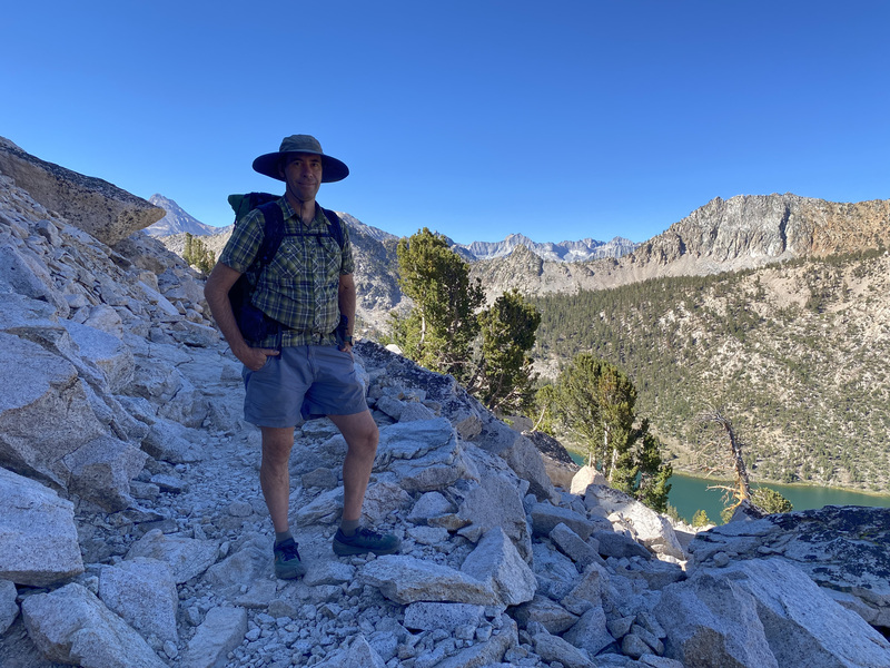
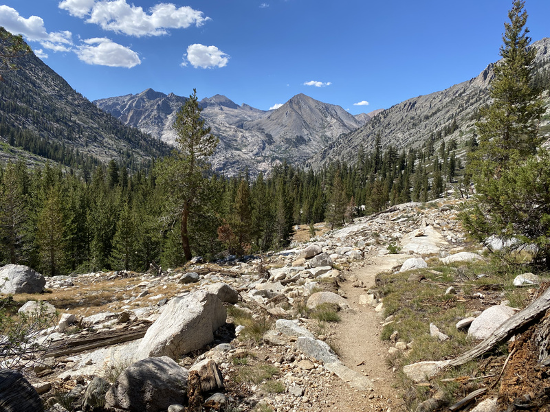
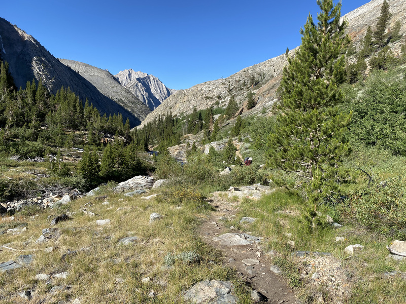
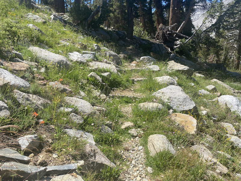
After crossing Rock Creek, I had some dry and dusty switchbacks to motor up until I arrived at Guyot Pass. Guyot Peak is immediately to the west of the pass and will be a fun summit on a future trip to the area. The first mule train of my trip passed me at the pass, while I was snacking, and the muleteer joked with the 3 couples in day packs there who had hired him to move their supplies. Post break, I followed the trail through Guyot Flats, admiring the distant mountains to the west. On the rocky-stepped switchbacks down to Whitney Creek, I tripped and fell downhill onto my hands and shins, but as I quickly made my way upright, as one does, I felt very lucky that I didn’t hurt myself at all. Carry on!
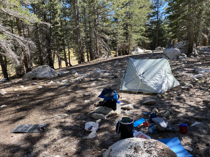
Backpackers who want to climb Mt. Whitney from the west typically stay in either Crabtree Meadows camp or up at Guitar Lake, right below the switchbacks. I knew both places would be very busy this time of year, so I stopped at an established site just prior to Crabtree Meadows and had an early, quiet night.
Day 3
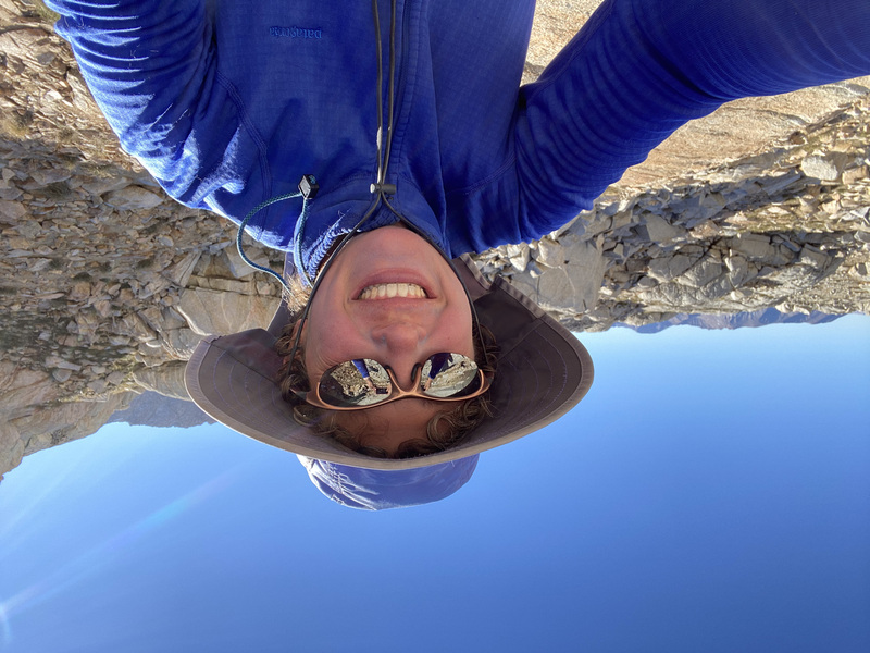
I woke up by alarm at dawn and made coffee and my instant mashed potato breakfast. I get whoosy when I walk in the dark with a headlamp, so I try my best to avoid doing so. I was feeling strong, so it was no problem to start at what Jon would call “a more reasonable hour.” It felt great to hike with a light pack, just water and food and a few clothes.

I hiked up to Guitar Lake, making sure to turn around often to enjoy the alpine glow on the peaks behind me. Then up, up, up the switchbacks. As I climbed higher, I could see further and more mountains. There were fighter jets zipping by for a while, which made me quip to the nearest hiker, “Hey, it’s like Top Gun! You know, Danger Zone.” To which he replied, “I certainly hope not!” This was my introduction to Ewan from Glasgow, who hiked about the same distance as me each day, so we leap-frogged and chatted a bit on the trail.
The visual crescendo Took My Breath Away (tee-hee) or maybe it was the altitude. No, it was definitely the views.


On the way down the switchbacks, it started to heat up, so I cooled off in a small lake above Guitar Lake. Unfortunately, I came out smelling a little like dead fish! Oops, I should have chosen a larger lake, I guess! I returned to my campsite and went to bed fairly early again. When planning this trip, I had debated whether to pick up camp and hike for a few more miles after climbing Mt. Whitney and keep up higher mileage days to reduce my trip by a day, but I’m happy that I chose the mellower schedule. I had time to just steep in the beauty.

Day 4
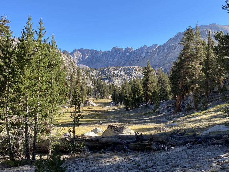
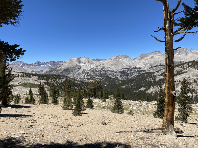
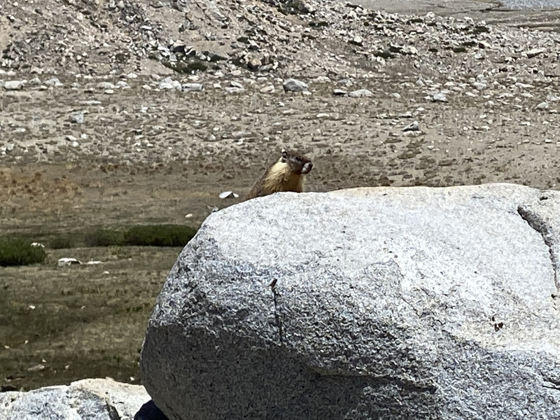
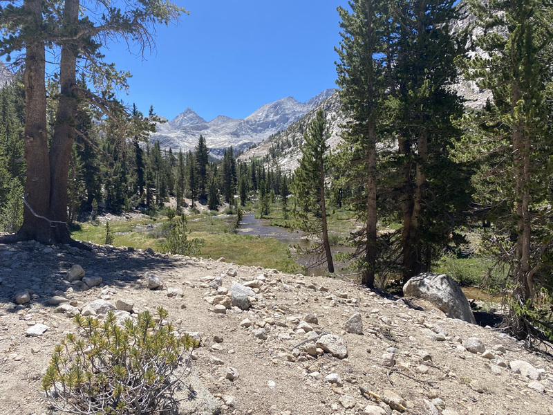
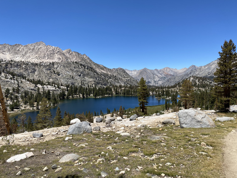
Next day I leap-frogged with Ewan and Michael, passing each other at our different breaks. Wallace Creek was the first large creek to pass. I’d like to return there some time and follow the creek up to Wallace Lake and beyond. There were so many marmots frolicking up on Big Sheep Flat!
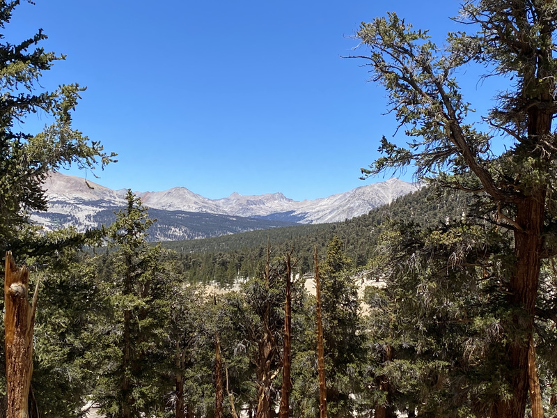
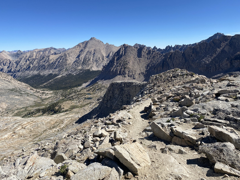
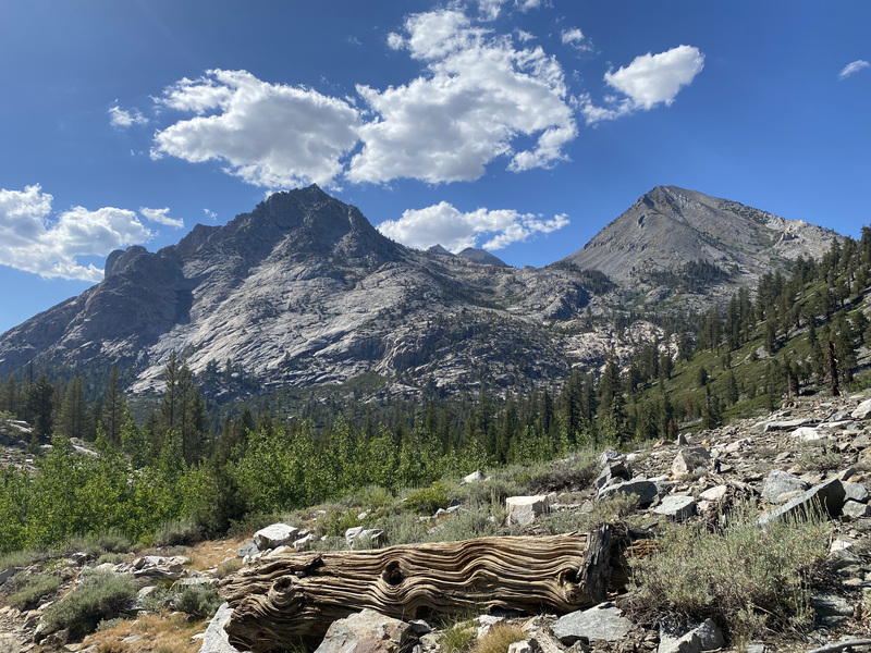
Then down to Tyndall Creek for a cool down before the last climb of the day. I must say that Tyndall Ranger Station would be my top choice if I was a backcountry ranger. There are so many directions to hike from this trail junction and they all look beautiful! The west side of Shepherd Pass look very mellow and open and Tyndall Peak looks doable. I’ll be returning here via Shepherd Pass later this season.
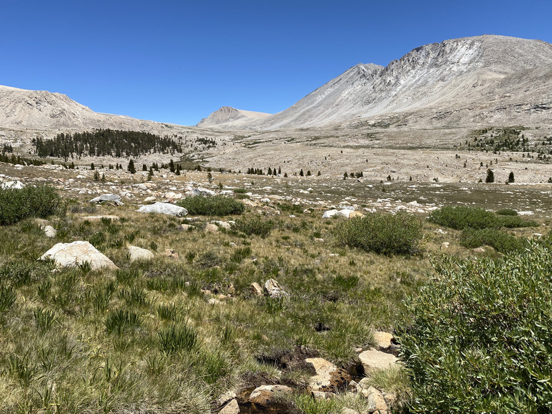
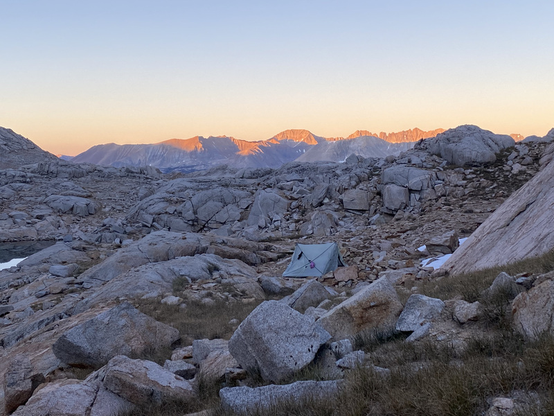
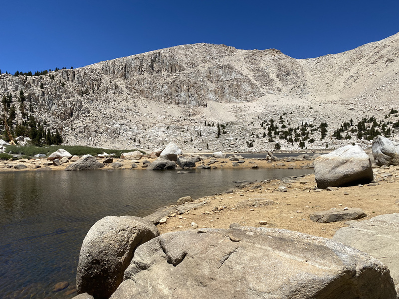
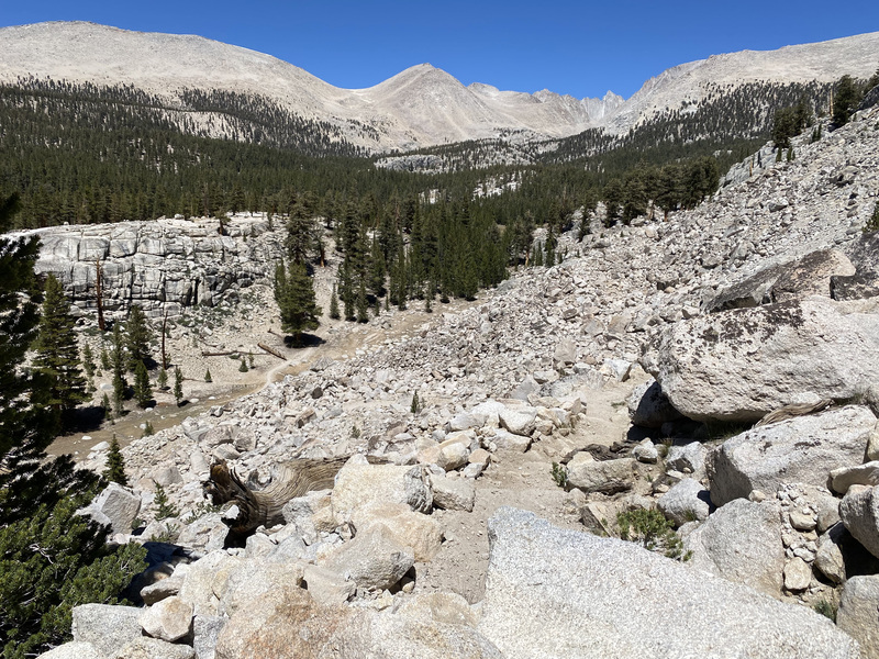
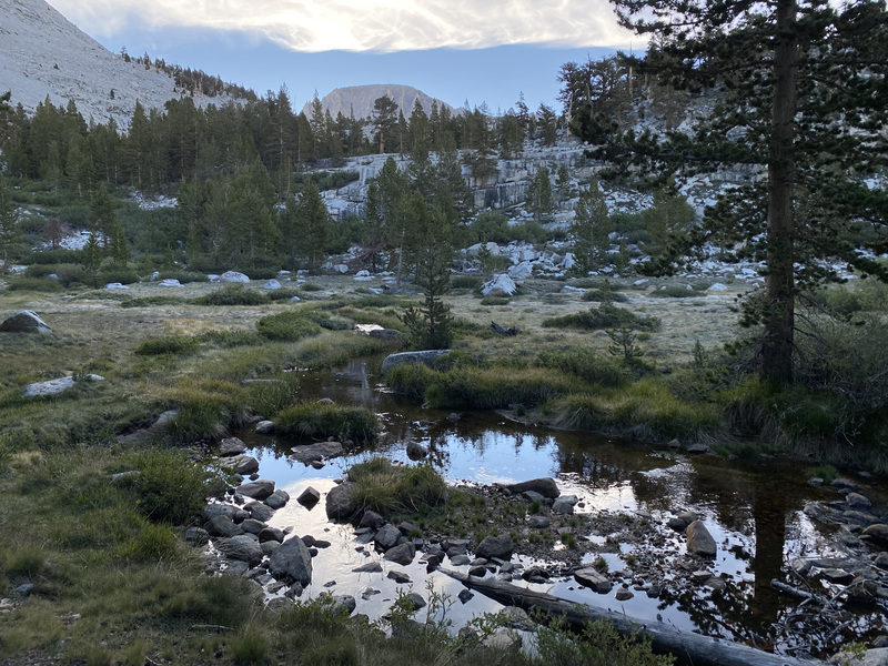
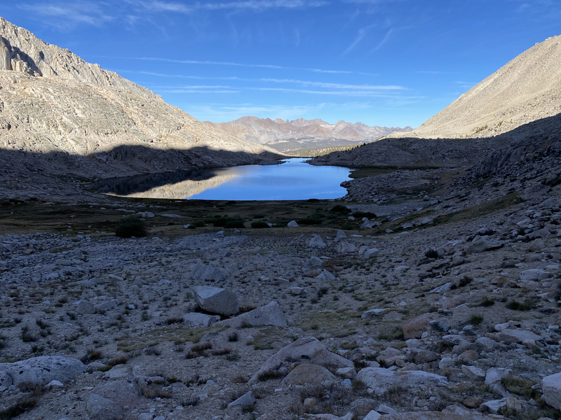
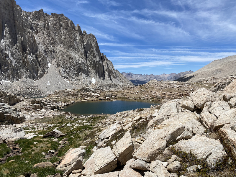
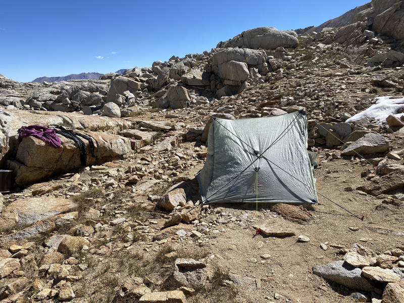
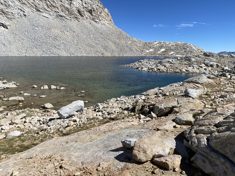
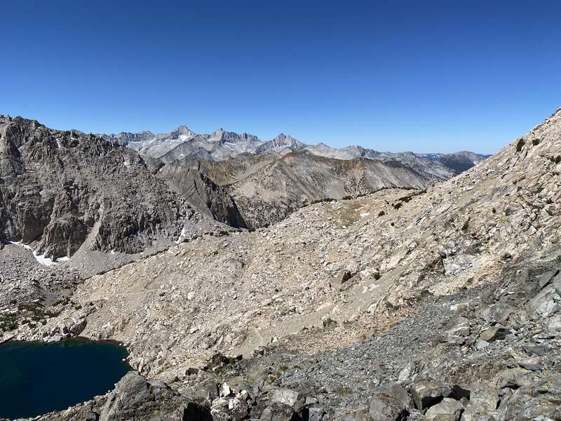
I decided to check out the south-easternmost lake below Forrester Pass for a campsite. There were several existing sites and I was happily surprised that the undulating geology provided some privacy. I had the place to myself, human-wise, so I did laundry and a better scrub to finally get the fish stink out of my hair. It was my coldest night, so I didn’t sleep soundly.
Day 5
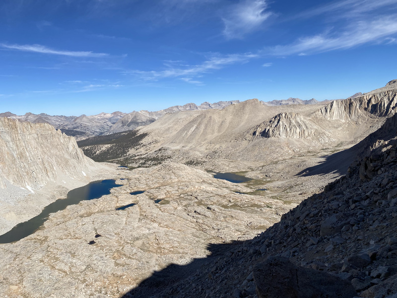
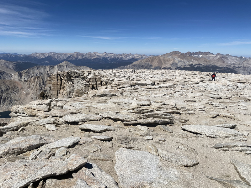
I rose early and clutched my coffee and hot potatoes to my bosom for warmth. Then I hiked up the switchbacks to Forrester Pass. Oh, how glorious the views are! I spent some time up there looking at maps. I was a bit disappointed that the “backs” (west sides) of University, Bradley, and Keith peaks looks like huge slogs with some technical silliness at the tops. I stare at these peak quite a lot from home and they look very technical from the front/east side. In my reading, they are easier from the west, but they sure don’t look easy!
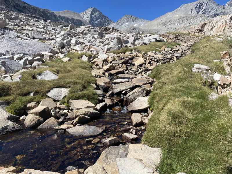
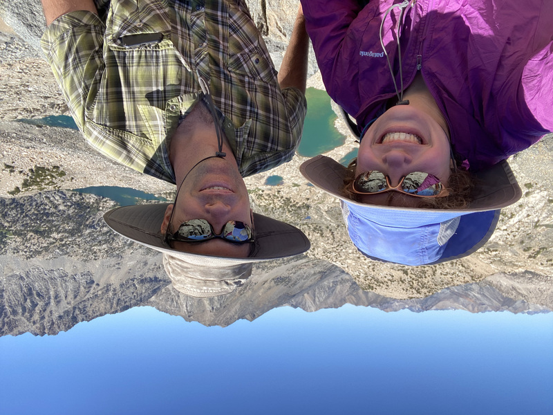
After the initial descending switchbacks, I was surrounded by water and flowers and greenery! It was like the Alps! I took a short detour to try to find the old John Muir Trail that goes through Center Basin on its way to Junction Pass, but I lost it after a while and it was slow going. This was the day that Jon was meeting me for an overnight via Kearsarge Pass, so I also didn’t want to miss him if he was hiking particularly fast.
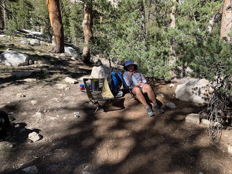
I met Jon on the south side of Vidnette Meadow and the mosquitos there were unbearable! We couldn’t even cool off in Bubb’s Creek, which had been tantalizing me with views of perfect swimming holes the whole way down the trail. So we hiked up some switchbacks to a drier place to camp. He brought our camping chairs and chocolate and cheesy poofs! It was warm and I slept well.
Day 6
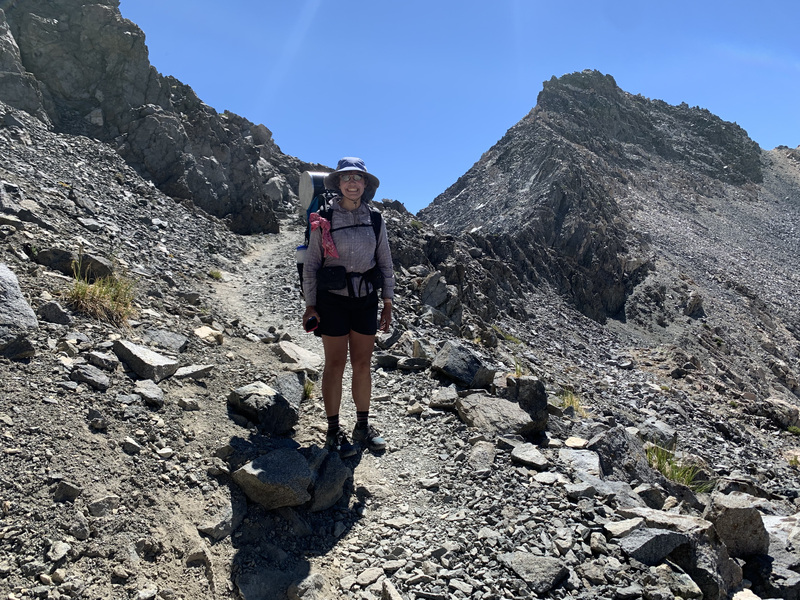
We had a more leisurely morning and then set off to Glen Pass for views of Rae Lakes Basin. We saw Charlotte Lake and Charlotte Dome (which has a couple popular backcountry climbing routes). It was pretty stark on the south side of the pass, but, like Forrester, had a lush north side.
Jon and I said our goodbyes at the pass and he went home via Kearsarge Pass. It was sure great that he could pop over for a visit!

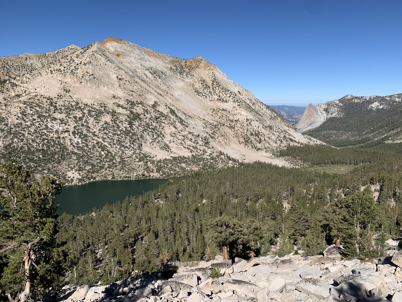
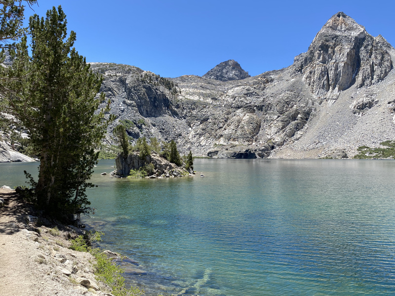
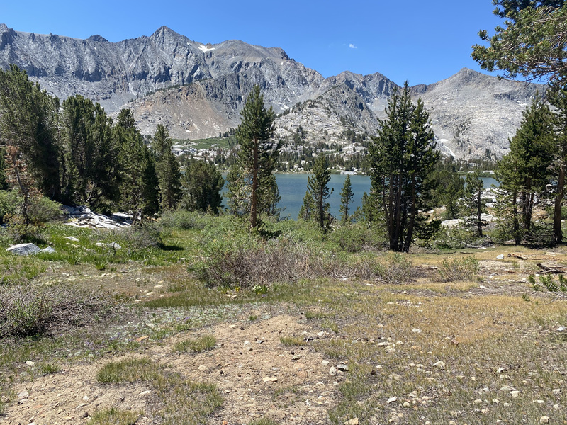
I practically pranced all the way down to Rae Lakes. So many flowers! Little islands in the lakes! It was a great spot and the bugs weren’t bad there. When I return to stay longer in the Rae Lakes area, I’ll also explore 60 Lakes Basin above the big lakes. Arrowhead Lake and Dollar Lake also had great views of mountains.
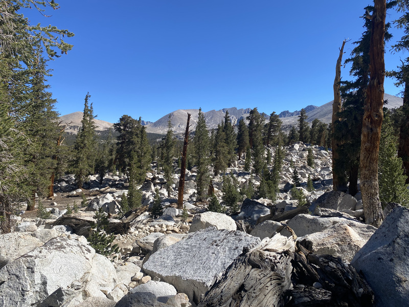
Below Dollar Lake, I started feeling pretty tired. It was a really hot day and the mosquitoes were relentless in the sparse shade. I began the day planning to hike past Woods Creek and up to higher, drier ground with (hopefully) less mosquitoes, but when I looked at the map again, I saw that the first 3.5 miles after Woods Creek stayed pretty low and near water. When I entered the forest near the creek and saw a nice campsite, I stopped for the night. The creek was the lowest in elevation I had been the whole trip and the forest had a lot of tree variation. I think there were even some young sequoias with their furry bark!
Day 7
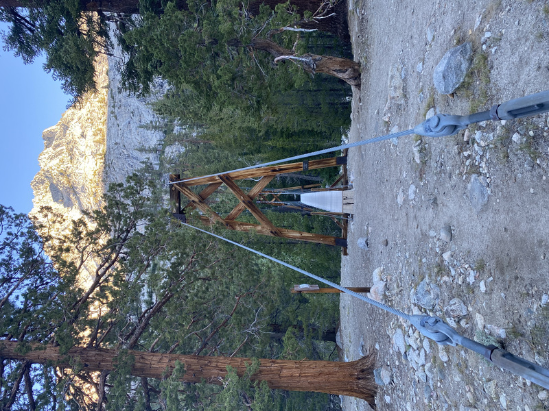
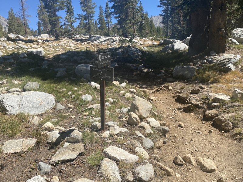
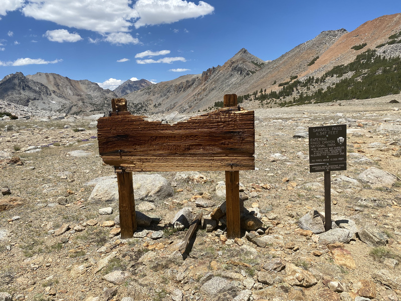
The next morning I got to cross Woods suspension bridge, which I’ve been looking forward to. It swayed a lot! Then a mosquito march up Woods Creek with lots of beautiful wildflowers. When it was time to fill my water bottles, my tried and true Pur/Katadyn Hiker Pro “10 pumps and you’re done” water filter wouldn’t work! I had changed the filter a month ago and clogged filter has a different failure method, anyway (more resistance to pump). It was pumping easily, but nothing was getting pushed past the filter. I took it apart and blew through various holes and inspected the hoses for holes, but I couldn’t make it work. I forgot my backup method of iodine pills, doh. I had plenty of fuel and could boil the water, but that takes a long time for ~5L/day, so I looked at my maps and decide to bail one pass and one day early via Sawmill Pass.
I knew Ewan was coming behind me, so when he arrived, I told him my plight and asked him if I could fill up my bottles with his filter. I am very thankful to Ewan, but I’m not impressed with the Sawyer Squeeze filter because it took a really long time to fill 3 liters! I guess Sawyer thinks it is ok to take an hour, since you’re backpacking and therefore surrounded by beauty?! I’d rather be already hiking in said beauty, thank you.
I sent Jon a message via the satellites that I would be exiting a day early via a different pass, thanked Ewan and wished him well on the rest of his trip, and took off for my longer-than-planned day. I didn’t mind because I would be seeing a whole new pass. And I live in the area, so I can visit the places I missed later.
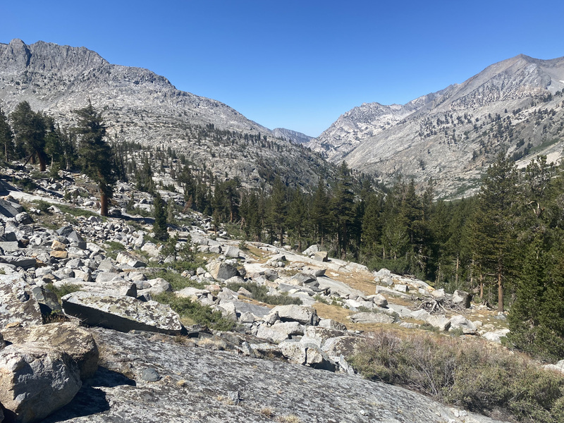
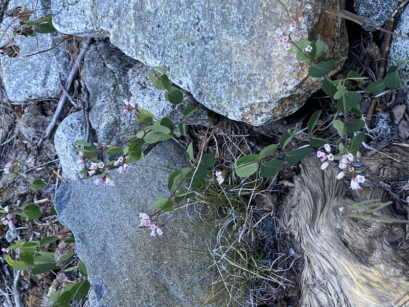
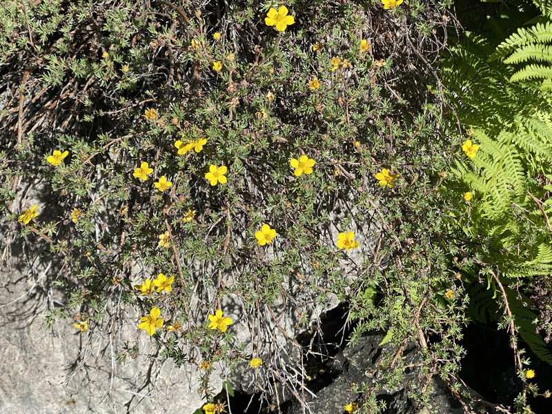
Sawmill Pass isn’t as popular as, say, Kearsarge Pass. I admired many flowers and mountain views and only saw 2 people before the pass. I asked them about water on the other side of the pass and there was more than I thought.
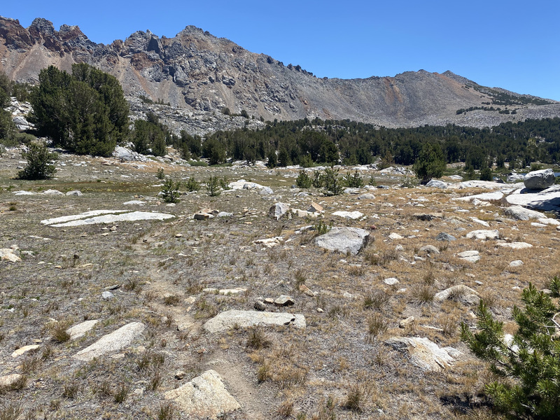
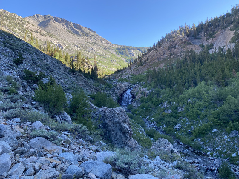
Whew! It was steep in some places! And overgrown with scratchy plants! I enjoyed the views and big patches of flowers and cooling off in Sawmill Lake. I also filled one my 1.5 L bottles with lake water I could boil, just in case. It was great to see Jon hiking up to me at the end. He brought icy cold grape electrolyte water and that tasted heavenly! And he made burritos when we got home. 😀